Most sensor systems are designed by engineers who have spent their careers working above ground. That's not a criticism — it's just the statistical reality. The result is a persistent set of assumptions baked into hardware specifications, communication protocols, and timing architectures that work perfectly in open-field deployments and fail quietly, then catastrophically, when you push that same equipment 20 meters underground.
We've been working through these failure modes systematically since we started building for underground threat operations. What follows is an honest account of which assumptions break first, how they break, and what the architectural implications are for anyone trying to build reliable sensor networks in GPS-denied subterranean environments.
The Three Pillars of Above-Ground Sensor Doctrine
Modern sensor network architecture — whether for perimeter security, ISR platforms, or persistent surveillance — rests on three foundational assumptions that are almost never stated explicitly because they are almost never false in above-ground deployments:
- GPS timing synchronization: nodes share a common time reference derived from GNSS signals, enabling TDOA (time-difference-of-arrival) calculations and coordinated multi-node event correlation
- Radio relay availability: sensors can communicate via RF back to a base station, edge compute node, or cloud relay with acceptable latency and link quality
- Aerial line-of-sight for resynchronization: when nodes drift or lose connectivity, a mobile asset (UAV, vehicle) can re-establish the link from an elevated position
Underground, all three assumptions collapse simultaneously. What makes this challenging is not that each failure is particularly surprising in isolation — obviously GPS signals don't penetrate 20 meters of earth. The problem is that most sensor systems are not designed to gracefully degrade when all three fail at once. The interdependencies run deep.
GPS Signal Attenuation: The Numbers
L1 GPS signals at 1575.42 MHz attenuate through soil at roughly 5–15 dB per meter depending on soil moisture content and composition. At 20 meters depth in moderately damp clay, you're looking at 100–300 dB of total path loss against a signal that arrives at the surface with approximately -130 dBm of power. The math doesn't work. You don't get a degraded fix — you get nothing.
This is well understood. What is less often discussed is the second-order effect: the loss of GPS timing means nodes have no shared time reference. Underground sensor nodes running on local oscillators — even temperature-compensated crystal oscillators (TCXOs) with ±0.5 ppm stability — will drift relative to each other at roughly 43 microseconds per day. For many sensing modalities that's irrelevant. For any system that relies on TDOA localization of acoustic or seismic events, 43 microseconds of inter-node timing error translates to approximately 13 meters of position error (at the speed of sound in rock). After 48 hours without resynchronization, a TDOA-based localization system has essentially no useful spatial resolution.
The practical implication: any underground sensor architecture that depends on GPS timing for event correlation needs a fallback timing mechanism from day one. This is not optional design hardening — it is a baseline requirement. Options include pulse-per-second (PPS) signals injected via tether from a surface GPS receiver, ultrasonic time-synchronization pulses between adjacent nodes, or clock-offset estimation via cross-correlation of shared reference signals. Each has tradeoffs in complexity and accuracy that cascade into system architecture choices.
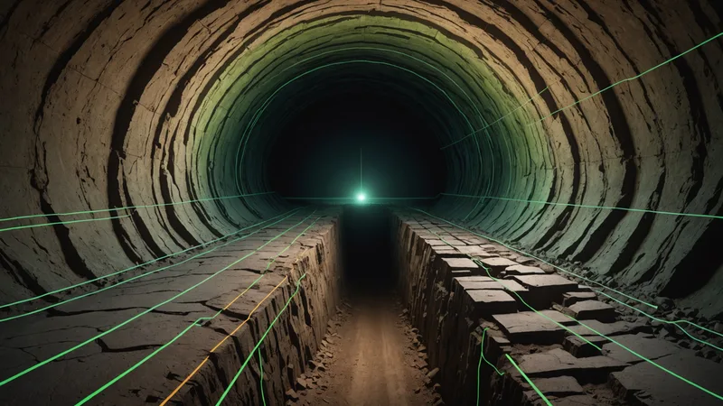
RF Propagation in Concrete Corridors: Multipath and Path Loss
In an open field, a 915 MHz ISM band signal from a sensor node to a gateway 200 meters away encounters free-space path loss of approximately 67 dB. Manageable. In a concrete tunnel corridor, the same 200-meter link looks very different.
Reinforced concrete attenuates 915 MHz signals at roughly 10–15 dB per meter of material penetration. But corridor propagation is not primarily a penetration problem — it's a multipath problem. Concrete walls, floors, and ceilings create a dense reflection environment. Signals arrive at the receiver via multiple paths with different time delays and phase relationships, producing constructive and destructive interference patterns that vary with node position, antenna orientation, and temperature-driven material expansion. In a 2-meter-diameter concrete circular tunnel, we observe standing-wave nulls at predictable spatial intervals based on the corridor geometry — but because those intervals are on the order of half a wavelength (16.4 cm at 915 MHz), small changes in node mounting position can swing received signal strength by 15–20 dB.
The operational consequence is that path loss measurements taken during initial deployment are not reliable predictors of long-term link quality. A node installed in a constructive interference lobe will work fine in initial testing and fail intermittently as temperature-driven material expansion shifts the interference pattern. This is one of the reasons we do not report link-quality estimates from short-duration bench characterization as representative of deployed performance — the variance over a 30-day period is too large to make single-point measurements meaningful.
Temperature Drift and Unsynchronized Clocks
Underground environments have lower temperature variance than surface environments, which sounds like an advantage for clock stability. It is, to a point. But the relevant issue is not absolute temperature — it's the thermal gradient between the electronics enclosure and the tunnel air, which drives component heating during high-duty-cycle transmission cycles, and the startup transient when a node that has been in deep sleep is awakened by a seismic trigger.
A TCXO rated at ±0.5 ppm across its operating range will still exhibit frequency jumps of 0.2–0.5 ppm during the 10–30 second warm-up after a cold start from sleep mode. For a system using TDOA event localization with nodes that wake on seismic trigger, this creates a situation where the timing uncertainty is highest precisely when a detection event is being processed. We've seen inter-node timing errors during wake-transient periods that are 3–4x larger than steady-state drift predictions based on oscillator specifications alone.
The architecture implication is that nodes should either maintain continuous low-power clock synchronization even during sleep, or the system should apply startup-transient correction using pre-characterized oscillator warm-up curves. Neither approach is free — the first increases average power consumption, the second requires per-unit calibration during manufacturing.
What This Means for System Architecture
The failures described above are not independent bugs to be patched. They are the result of a foundational mismatch between the assumptions embedded in above-ground sensor doctrine and the physics of subterranean environments. Fixing them at the component level — buying a better oscillator, adding more RF power — addresses symptoms, not causes.
The architectural shifts required are:
- Decouple timing from GPS. Design for GPS-free timing from the start, not as an afterthought. This means selecting communication protocols and localization algorithms that can tolerate inter-node clock offsets at the microsecond scale and implement distributed time-synchronization.
- Design mesh topology around multipath, not against it. In tunnel corridors, star topology to a single gateway fails at predictable distances and positions. Mesh topology with redundant paths distributes the multipath problem across multiple links, allowing the network to route around dead zones.
- Treat temperature as a dynamic variable, not a constant. Sensor calibration, clock correction, and RF link quality estimation all need to account for the thermal state of each node, not just static environmental temperature.
- Build resynchronization as a first-class protocol function. Any surface access point — whether a handheld device carried through the tunnel, a tethered cable, or a periodic RF link to a surface gateway — should trigger a synchronization protocol, not just a connectivity check.
The Specific Problem of Aerial Resynchronization
In above-ground sensor networks, a UAV or vehicle-mounted gateway can provide opportunistic resynchronization to nodes that have drifted or lost connectivity. This is so reliable in outdoor deployments that many system architectures build in a dependency on it without explicitly acknowledging the assumption.
Underground, this mechanism is obviously unavailable. But the less obvious problem is that the absence of aerial resynchronization forces design choices that often conflict with other requirements. If a tunnel system needs GPS timing to work correctly, and aerial resynchronization is unavailable, then either the system must operate in a degraded mode indefinitely, or it must have an alternative resynchronization path (surface tether, human-carried synchronizer, acoustic synchronization pulse). Each of these alternatives has operational constraints that need to be specified and managed as explicit system requirements — not discovered during a field evaluation when the system has been running for 72 hours and the TDOA localization has drifted by 40 meters.
We're not saying that GPS-dependent designs are categorically wrong for underground applications. There are configurations — shallow tunnels with surface antenna placement, or systems with periodic surface access — where GPS dependency is manageable. What we are saying is that any design review for a subterranean sensor network needs to treat GPS availability as a variable, not a given, and explicitly trace the failure mode through the system when that availability goes to zero.
Practical Starting Points
For teams beginning to design for GPS-denied underground environments, the sequence of decisions that matters most:
First, determine your timing requirement. What localization accuracy do you need? That number, combined with the speed of your sensing medium (acoustic, seismic), gives you a maximum acceptable inter-node clock offset. Work backward from that constraint to select your synchronization approach.
Second, characterize the specific tunnel geometry you're deploying in before finalizing node spacing. A 900 MHz link that works at 80 meters in a 2-meter circular concrete tunnel may fail at 50 meters in a 1.5-meter clay-soil tunnel because the soil water content changes the attenuation characteristics by 3–4 dB/m. Path loss in soil is not a single number — it's a function of geology, moisture, and frequency that needs to be measured, not assumed.
Third, build clock drift logging into firmware from day one. Not just current time — delta-from-last-sync and inter-sync interval. That data will tell you exactly where your system's timing accuracy is degrading in operational conditions, which is information you cannot get from bench testing and cannot infer from specifications.
The underlying principle is that underground sensor deployments impose a discipline that above-ground systems can afford to skip: every assumption has to be traced, verified, and designed around. The physics don't care about the specification sheet.