BLOG-00 / FIELD NOTES
Field notes from underground.
Technical articles on underground sensing, tunnel warfare environments, subterranean operations doctrine, and mine safety. Written for engineers and program managers who need technical depth, not press release summaries.

Multi-Domain Threat Correlation: Linking Surface Activity to Subsurface Signatures
Correlating surface pattern-of-life data with subsurface seismic and acoustic signatures changes the operational picture. What the integration actually requires — and the failure modes we didn't anticipate.

Autonomous Node Battery Life: 18 Months of Field Data from Three Geologies
Spec sheet battery life numbers are almost always wrong. What 18 months of continuous deployments across sandstone, granite, and clay environments actually taught us — and the revised planning numbers we use now.

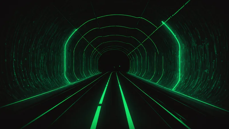
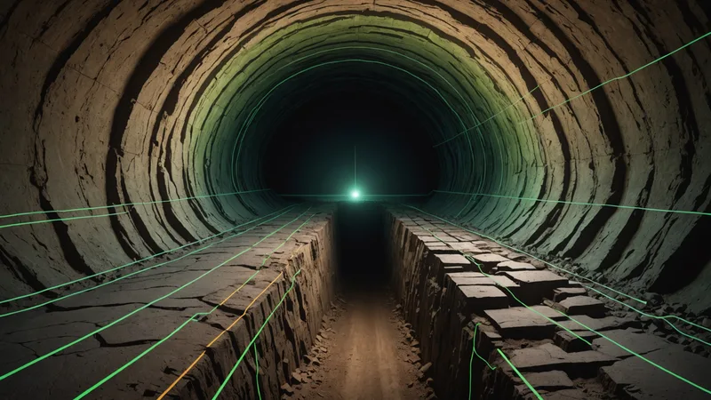
Tunnel Mapping: LiDAR vs Sonar in Flooded and Dry Corridors
LiDAR stops working at the waterline. Sonar has its own failure modes in dry passages. Two years running both modalities in the same corridors — and what actually determines which you use.

The Subterranean Sensing Defense Market in 2025: Observations from the Field
DARPA SIGMA+ and Army AMSAA programs have validated underground threat detection as a priority. Commercial products in this space remain sparse. What the gap looks like from where we sit.
False Positive Reduction in Underground Threat Detection: The Operational Cost Problem
A 5% false positive rate sounds low. At a border corridor with 200+ daily triggers from wildlife and equipment, it means an operator team that stops responding to alerts. Precision matters more than recall in threat detection.
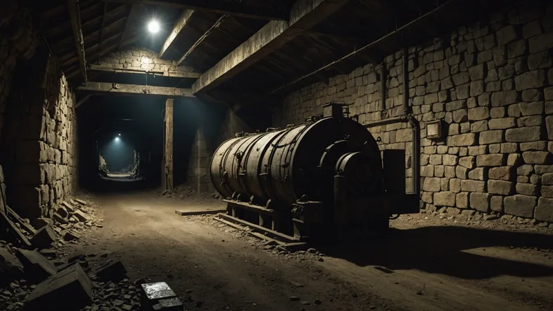
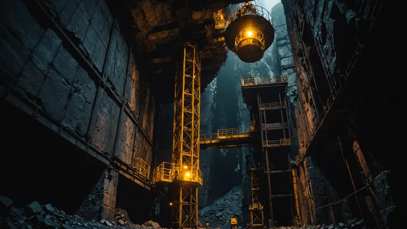
Deploying Sensors in Hostile Underground Environments: Field Notes
Power, moisture, temperature swings, and explosive atmospheres are constraints that lab specs don't fully capture. Notes from testing in a decommissioned mine in the Nevada desert.
Autonomous Effector Navigation in GPS-Denied Underground Environments
Dead reckoning degrades fast underground. Inertial systems accumulate drift. The workable solution combines preloaded LiDAR map registration with real-time acoustic landmark matching.
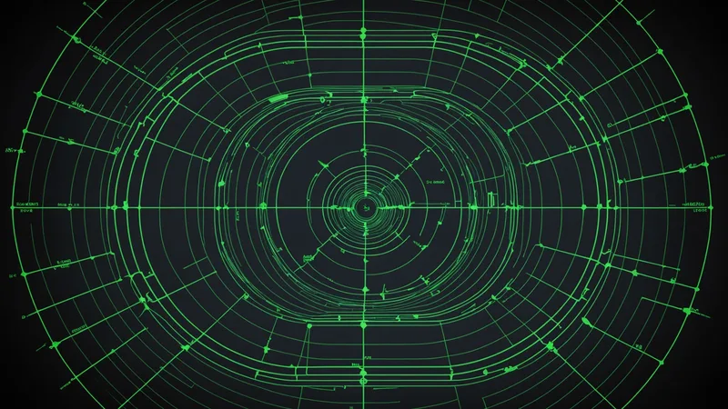
Seismic Array Node Spacing for Tunnel Corridor Coverage
What's the minimum number of seismic nodes to achieve reliable full-corridor coverage? The answer depends on geology, corridor dimensions, and threat velocity. We worked through the geometry.
ITAR and Export Controls for Underground Sensing Hardware: What Builders Need to Know
Dual-use underground detection hardware sits in a regulatory grey zone across ITAR, CCL, and Commerce Department EAR classifications. The compliance overhead starts earlier than most founders expect.
Mine Safety Monitoring: Why Single-Sensor Systems Keep Failing
Seismic alone misses small-scale intrusions. Acoustic alone saturates on equipment noise. The reliability threshold for mine monitoring requires at least three independent sensing modalities in fusion.

Mesh Networking Below Ground: 915 MHz Propagation Characteristics
Sub-GHz propagation through rock and soil attenuates differently by geology type. We measured path loss in sandstone, granite, and reinforced-concrete corridors. The differences matter for node spacing.

Cross-Border Tunnel Typology and What It Means for Detection
Narco-trafficking tunnels, military cross-border corridors, and legacy wartime tunnels have different construction signatures. Matching detection method to construction type is not optional.
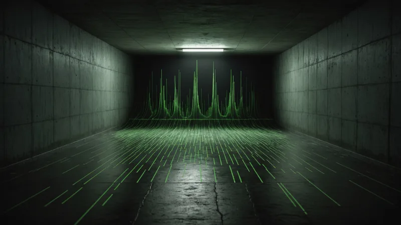
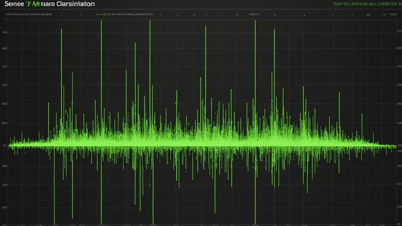
Passive Acoustic Footstep Classification in Tunnel Environments
A person walking through 1.8m concrete tunnel at 1.2 m/s produces a predictable seismic signature. The classification challenge is isolating that signal from water flow, rock settlement, and mechanical vibration.

Ground-Penetrating Radar: The Resolution-Depth Tradeoff Nobody Talks About
Higher frequencies give better resolution but shallow penetration. Lower frequencies see deep but blur the target. The practical answer for tunnel applications sits in a narrow band.
Why GPS-Denied Tunnels Break Every Sensor Assumption
Above-ground sensor doctrine assumes GPS-synchronized timing, radio relay, and aerial line-of-sight. Underground, none of those hold. Here's what the failure modes actually look like.